ISTF 2021 | Presentations
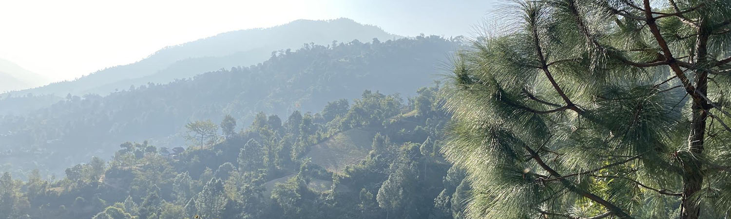
A Comparative Analysis Study of Forest Loss in Sierra Madre Mountain Range using GIS Maps
A Comparative Analysis Study of Forest Loss in Sierra Madre Mountain Range using GIS Maps
With the Philippines being a typhoon belt in the Pacific, natural landforms such as hills and mountain ranges take part of being a vital role in protecting the country from these typhoons. As the Sierra Madre Mountain Range serve as its backbone for being the strongest natural defense against typhoons in Luzon, developments swarm around the site of Sierra Madre latterly that renders the mountain ranges useless against storm gradually as these infrastructures rise. The research analyzes the changes on the Sierra Madre mountain ranges from 2000 to 2020 through the use of map making in QGIS and Google Earth Engine’s open source datasets on tree cover and vegetation maps. The study mostly focuses on human-related activities such as on-going and future developments on the site. The study pursues to anticipate what the condition of the Sierra Madre mountain ranges in the future if these spread-out use of natural space continues using existing open-source data.